
Mission Logged, Data Secured: GNPC Explorco Closes Aerial Survey Phase in Voltaian Basin Push
GNPC Explorco has closed a critical chapter in Ghana’s inland exploration drive, successfully completing its aerial geophysical survey across key districts in the Voltaian Basin. The milestone caps weeks of low-altitude data acquisition and shifts the campaign into its most consequential phase yet—turning raw geophysical signals into the subsurface intelligence that could redefine the country’s next upstream frontier.

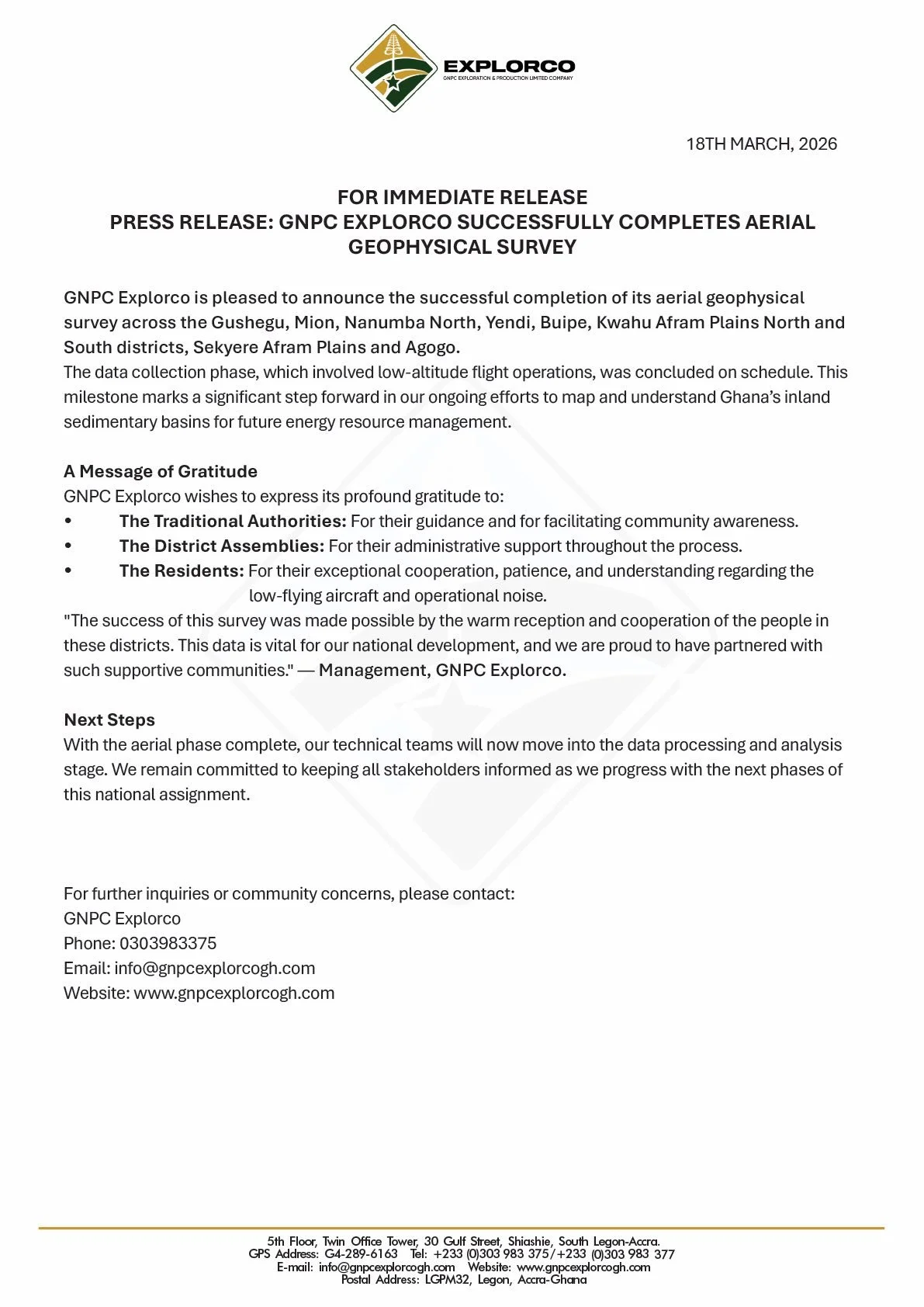
Voltaian Basin, Ghana | March 19, 2026 - GNPC Explorco has drawn a decisive line under the data acquisition phase of its inland basin campaign, announcing the successful completion of its aerial geophysical survey across a broad swathe of northern and middle Ghana. Framed in celebratory terms—“Mission Accomplished!”—the milestone signals the end of weeks of low-altitude survey flights and the beginning of a more technically exacting phase: subsurface interpretation.
The exercise, spanning Gushegu, Mion, Nanumba North, Yendi, Buipe, Agogo and the Afram Plains districts, forms a critical plank in Ghana’s long-gestating effort to unlock the hydrocarbon potential of the Voltaian Basin. For policymakers and upstream strategists, the significance lies less in the flights themselves than in what follows: the conversion of airborne geophysical readings into actionable geological insight.
In a statement dated 18 March 2026, the company confirmed that “the data collection phase, which involved low-altitude flight operations, was concluded on schedule,” describing the outcome as “a significant step forward in our ongoing efforts to map and understand Ghana's inland sedimentary basins for future energy resource management.” The sequencing is deliberate—first, reconnaissance-grade data; next, high-resolution modelling; ultimately, a decision point on exploratory drilling.
From Airborne Reconnaissance to Subsurface Strategy
This latest development is best understood as the operational continuation of an earlier push flagged by Explorco: the deployment of “low-flying aircraft” to generate high-fidelity geophysical datasets over the Voltaian Basin. That earlier announcement framed the campaign as high-risk, high-reward—an attempt to de-risk one of West Africa’s least understood sedimentary systems through modern survey techniques.
The just-concluded phase delivers on that promise of coverage. What it does not yet deliver is confirmation of commercial hydrocarbons—a distinction that will matter as expectations build. Airborne surveys, while indispensable, are an early-stage tool; their value lies in narrowing uncertainty, not eliminating it.
Community Optics and Operational Reality
Explorco’s messaging places emphasis on local cooperation, an acknowledgement of the operational sensitivities inherent in low-altitude aerial work. The company issued a “massive THANK YOU to the chiefs, elders, and residents,” noting that “together, we are mapping a brighter energy future for Ghana.”
That sentiment is echoed more formally in management’s statement: “The success of this survey was made possible by the warm reception and cooperation of the people in these districts. This data is vital for our national development, and we are proud to have partnered with such supportive communities.”
The triad of stakeholders—traditional authorities, district assemblies, and residents—was explicitly credited for enabling execution. In practical terms, this cooperation mitigated the reputational and logistical risks often associated with aerial surveys, particularly those involving “low-flying aircraft and operational noise.”
The Hard Work Begins
With the aerial phase complete, the centre of gravity now shifts from the field to the lab. Explorco indicates that “our technical teams will now move into the data processing and analysis stage,” a transition that will determine whether the campaign yields commercially meaningful leads or simply refines the geological map.
This next phase—data inversion, modelling, and interpretation—is where value is either crystallised or eroded. It will test not just the quality of the data collected, but the robustness of the analytical frameworks applied to it.
Strategic Implications
For Ghana’s upstream sector, the timing is notable. The Voltaian Basin has long been positioned as the country’s frontier play—high uncertainty, but potentially transformative. The completion of a nationwide aerial dataset marks a tangible progression from speculative interest to structured exploration.
Yet caution is warranted. The pathway from geophysical survey to first oil—if it materialises at all—is measured in years, not months. What this milestone does is tighten the aperture of uncertainty, offering policymakers and investors a clearer, if still incomplete, picture of what lies beneath.
For now, Explorco has delivered on execution. The market will be watching closely to see whether the data just acquired can be translated into the kind of geological conviction that justifies the next, far costlier phase of exploration.